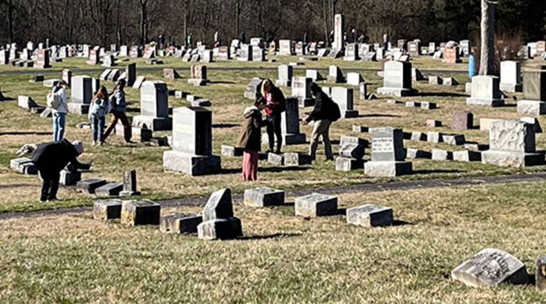
They were given a high-resolution drone image of the cemetery, as well as a stack of paper maps to work with, some of which included roads that no longer exist.
And, according to Miami officials, as of the wrap of the school year last month, more than 50 GIS students involved in the project “had located more than 6,300 headstones, worked 500-plus hours, and digitally created a valuable source of information for their community.”
The learning project’s real-world application also recently paid off in helping residents with family members buried in cemetery better honor them on Memorial Day, said Mike Green, grounds maintenance supervisor for the city’s cemeteries.
For Memorial Day, Green and a group of volunteers used the information generated by Miami students to lay flags on the plots of veterans.
And visitors were able to scan QR codes to access an Oxford Cemetery Digital Resources website that not only provides access to veteran gravestones but also includes several other resources, including a grave finder program and stories of many of those interred in Oxford Cemetery, located just past Peffer Park on Highway 27, said Miami officials.
“That was very beneficial for us,” Green said. “Being able to see those points on our phones helped out tremendously and sped things up.”
Miami instructor Robbyn Abbitt said the Oxford Cemetery, which dates to 1855, proved to be an excellent, out-of-classroom learning space.
“It is a fantastic way to bring outside work into the classroom,” said Abbitt, who is GIS coordinator and associate director of Miami’s Geospatial Analysis Center.
Work began for Abbitt’s 29 fall semester students by reading peer reviewed literature and trade magazines to become familiar with methodology and the mapping process.
Those students also built the database structure and did a first run at collecting data prior to handing the project off to 25 students in the spring semester.
Using the interment cards, Abbitt’s spring students collected additional data and provided guidance on how the city might be able to use georeferencing in the future.
Senior Miami student Preston Lawson, who is majoring in biology and also earning a certificate in Geographic Information Science, worked on the project during the spring semester. Lawson and classmates did quality assurance and quality control, double-checking the data provided by the fall semester students.
After dividing the cemetery into quadrants, or “fishnets,” each student took a set number of headstones to fact check.
“With some of the headstones, it was kind of a race against time,” Lawson said, noting some of the headstones were weathered and information could be spotty.
“It was really interesting getting a look at their life stories.”
Abbitt said: “There are so many interesting stories out there in the cemetery.
“The students really connected with last names that they see on buildings on campus and street names in town. I was surprised by how connected to the community the students felt at the end of each semester.”
“Every headstone out there is a story,” Abbitt said. “They really felt like they were taking ownership and allowing those stories to be told.”
About the Author
