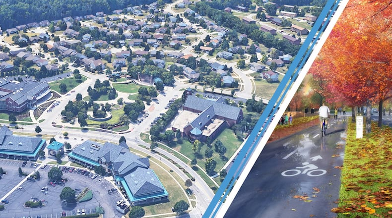
“This is a look at establishing a plan so that we could potentially over time connect the neighborhoods together,” said City Manager Mark Wendling.
LOCAL NEWS: 5 things to know about popular Middletown coffee shop Triple Moon
The city manager said the plan won’t be a five-to-10-year plan, but rather a 20-to-25-year plan.
City Council was updated last week on the connectivity plan, which will be a “planning tool” to connect neighborhoods to the major hubs in the city, which have been identified at the Village Green area, Ohio 4 area spanning from Jungle Jim’s to three Fairfield school buildings, and the Mack and Gilmore roads area. It will also connect the neighborhoods to the Great Miami River Trail, and complete the unconnected sections within the city of Fairfield.
This type of plan also gives the city a better opportunity to land grant funding for sidewalk projects and multi-use paths, Wendling said.
“When we go out for funding we have to be able to show (the funding agency) what we’re trying to achieve,” he said. To show a big-picture plan with an ultimate goal will “mean a lot.”
The city has contracted MKSK, a landscape architecture and design consultant firm from Cincinnati. Sean Hare, an MKSK project manager, said connected communities not only lead to healthier residents, but also higher property values.
He said properties next to the Little Miami Scenic Trail sell for about 9 percent more than homes a half-mile away from the trail.
LOCAL NEWS: West Chester cancer survivor makes Carew Tower climb
Hare also said there is a potential benefit to the city’s economy, bring in potentially millions of dollars a year with people traveling the trail.
Also, there’s a benefit for households and the environment. According to the U.C. Economics Center’s study on the Wasson Way Project in Cincinnati, 27.5 million fewer vehicle miles were traveled from the Little Miami Scenic Trail to Xavier University, which reduced CO2 emissions, and there was $10 million in household savings in transportation costs.
City Engineer Ben Mann said the city’s connectivity master plan would not be one-size-fits-all as the city will consider sidewalks, multi-use paths and some shared road paths as part of the plan.
The plan will also include working with developers to incorporate connectivity opportunities because “we don’t want to miss opportunities to build things that make sense to be built at that time,” Mann said.
The desire for more a more connected and walkable community came from the city’s Fairfield Forward comprehensive plan development, which was led by the Development Department. Fairfield Planning Manager Erin Lynn said at every public meeting and open house “the number one overall comment we’ve heard” at each meeting and event “that we need some sort of connectivity, walkable neighborhoods.”
That includes making safe walking paths to the school buildings, downtown Fairfield and city parks, as well as an extension to the Great Miami River Trail, she said.
The city began developing a connectivity plan before the comprehensive plan was completed, Lynn said, “because we recognized the importance of it.”
There is a connectivity plan steering committee, which includes seven residents, two Fairfield City Schools representatives, city officials.
Input from the public will be requested at a public meeting from 6 to 8 p.m. March 3 on the final routing plan and opinions on priorities. The meeting will be at the Fairfield Community Arts Center, 411 Wessel Drive.
About the Author

