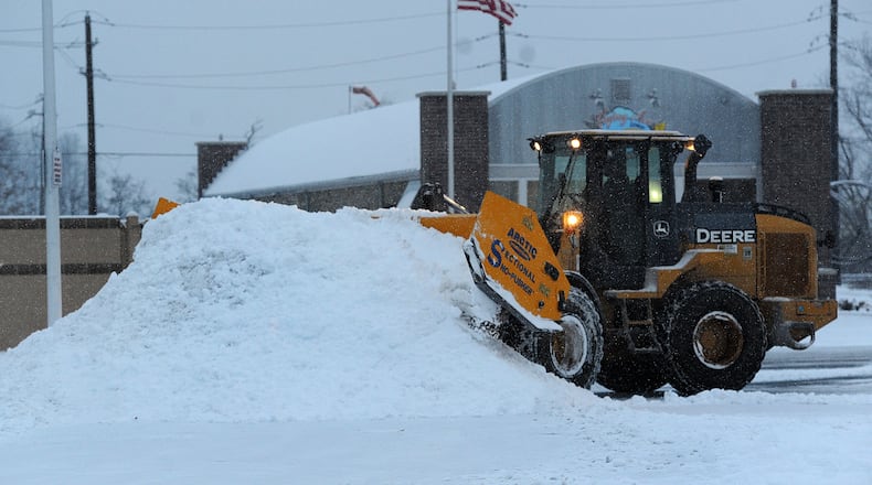
Snow totals will vary, but a map issued Friday by the NWS estimated that Dayton and its immediately surrounding counties all had between a 66% and 76% chance of getting 6 or more inches of snow Sunday and Monday.
John Franks, a meteorologist for NWS, said Thursday the region could see between 4.5 inches in the southwest area into Cincinnati and 1.5 inches at the Dayton International Airport during the day Sunday. Communities north of Interstate 70 could see less snow, between ¾ an inch to ½ an inch.
Franks described Dayton and southwest Montgomery County as being in the pivot area, where storms heading up from the southwest could turn and start to head southeast. This could result in a large discrepancy in snow totals.
Though the weather could change leading up to Sunday, he said it isn’t out of the question the region could see a significant snowfall. Total snowfall in the Dayton area could be 1.5 to double the amount forecasted for Sunday day.
A Winter Storm Watch has been issued for most of our counties for the Sunday/Monday system. There is increasing confidence that a swath of significant snow totals is expected, along with a wintry-mix that could result in ice accums near/south of the OH River. Stay tuned for more! pic.twitter.com/Ppi9aT1fVs
— NWS Wilmington OH (@NWSILN) January 3, 2025
Franks also said the storm could shift south or north, which would result in less or more snow respectively.
A Winter Storm Watch is scheduled from 7 a.m. Sunday to midnight Tuesday.
The NWS forecast said it appears likely parts of southern Ohio and southeast Indiana could get more than 6 inches of snow. Models start to decrease north of the I-70 corridor.
Depending on the severity of the storm, it could match or beat record high snowfalls in Dayton. In 1903, Dayton received a record high of 2.7 inches of snow for Jan. 5, and a high of 4.8 inches on Jan. 6, 1910.
While this is early in the season for a significant winter storm, Dayton has seen large snowfalls in January.
With the expectation for a major winter storm to impact the region Sunday into Monday, now is the time to make preparations for your home and vehicles! Be sure to stay updated with the latest info from reputable sources as we progress through the next several days! pic.twitter.com/L1Yx7ROzar
— NWS Wilmington OH (@NWSILN) January 3, 2025
The record high snowfall is 6 inches or more for 10 days in January, including 9.8 inches on Jan. 1, 10 inches on Jan. 11 and 12.2 inches on Jan. 26, according to the NWS.
Snow is expected to move out of the region during the day Monday, but it will be followed by bitterly cold temperatures. Highs are expected to stay in the teens for the second half of next week.
The NWS encouraged people to start planning ahead for winter weather and make sure homes are stocked with any necessary supplies and are prepared for power outages. People should also make sure their vehicles have a safety kit and cold weather gear.
About the Author
