Here are the highlights:
1. Housing along the river
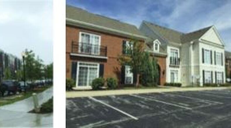
Residents and others who have participated in public-input sessions envision two types of housing along the Great Miami River on both sides of the High-Main Bridge: “Attached Residential,” which is moderate-density homes that are connected to each other, with individual entrances to each unit; or “Urban Residential,” or apartment buildings.
2. More parks
A park along the river from the Columbia Bridge to several blocks north of Main and High streets, with another large park area on the west side of the river near the area of the proposed Spooky Nook Sports at Champion Mill mega-indoor sports complex. From this area to the southern tip of the city, canoeing and other activities on the river would be encouraged.
3. Better access throughout the city
Better ways to get across, and around, town are greatly desired. In addition to proposed biking/walking paths that would connect Hamilton’s downtown to Oxford and the Pyramid Hill Sculpture Park, participants envisioned bridges for vehicles and pedestrians north of the proposed Spooky Nook complex and Pyramid Hill to the city’s East Side. They also imagined bus routes linking the center of town to Bridgewater Falls, and linking the Lindenwald neighborhood with the West Side.
“Some of the topics that came up are stuff we need more background on, like housing stock and vacancies,” Moeller said about one topic that was raised when the public on Oct. 2 reviewed ideas that had been raised during earlier meetings. “I think we need to do more background on it.”
One area that has been a tug-of-war issue for city residents and officials is the number of homes being torn down. On the one hand is the need to eliminate dangerous buildings that pose danger to children who may enter, and neighboring homes when they burn. On the other is the wish of many residents to preserve housing that can be renovated to provide modest, or even spectacular, homes for families.
“Those maps (displayed during Operation Pumpkin) are supposed to be very conceptual,” Moeller said. “The purpose there was not necessarily to show where there might be a new bridge yet.”
Also, planners roughly showed two loops where buses could conceptually have routes taking people to various destinations, she said: “Those are all supposed to be like, ‘This is a general area where we’d like to have some kind of connectivity.”
Planners and focus groups will work to become more specific about considering possibilities, and in some cases, deciding particular ideas aren’t feasible, or are too “pie-in-the-sky,” she said.
With the idea of bus routes, for example, “I don’t think we’ll end up in a comprehensive plan with an exact ‘this is the route that we should take.’ It probably will still be pretty conceptual, but it may come out of that focus group that, ‘This one’s realistic, this is not.’”
About the Author
